
Best Hikes in Glacier National Park for Every Fitness Level
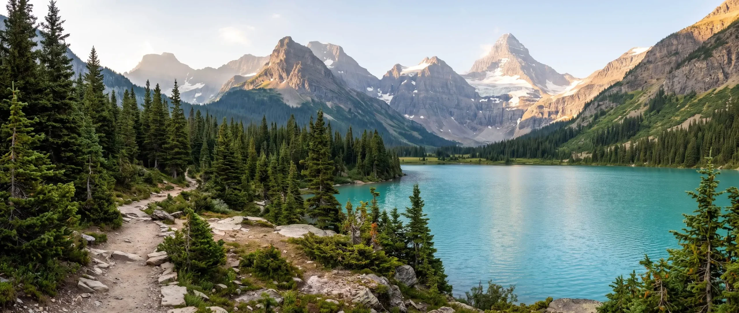
Which trail deserves the early alarm in Glacier? Choosing is harder than the hike.
The park packs jagged peaks, turquoise lakes and shrinking ice together, and some trails stay snowy well into summer. Bears add another layer to every plan.
These are the best hikes in Glacier National Park sorted by effort and region, from St. Mary Falls to the Highline, with notes on bear spray and snow.
Best Hikes in Glacier National Park Ranked by Effort
| Hike | Distance and climb | Effort |
|---|---|---|
| St Mary Falls and Virginia Falls | 1.6 miles one way | Easy |
| Avalanche Lake | 2.3 miles one way and 500 feet of gain | Moderate |
| Hidden Lake Overlook | About 2.7 miles round trip | Moderate |
| Iceberg Lake | 4.8 miles one way and 1,200 feet of gain | Hard |
| Grinnell Glacier viewpoint | 5.3 miles one way and 1,600 feet of gain | Hard |
| Highline to Granite Park Chalet | 7.6 miles one way and 800 feet of gain | Strenuous |
Distances differ slightly between park pages and guidebooks so treat them as close estimates. Start with the longest day you can handle comfortably and pick from the matching row. Trail conditions matter as much as mileage here.
Prefer snow over summer trails? Our Beaver Creek guide covers a Colorado ski village.
Best Hikes in Glacier National Park for Easy Days
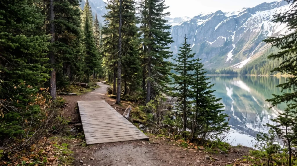
Short walks here still deliver big scenery. Trail of the Cedars is a boardwalk loop through old growth forest that suits nearly everyone. St Mary Falls and Virginia Falls sit about 1.6 miles from the trailhead with a mild climb on the way back.
Redrock Falls in Many Glacier adds waterfalls for around 1.8 miles each way with little climbing. Twin Falls at Two Medicine is 3.5 miles one way or under a mile if you take the boat. The park suggests a minimum age of about seven for these half day hikes and pets stay off the trails.
Collecting several parks on one trip? Our national park road trip guide shows how to link five Utah parks in one loop.
Avalanche Lake and the West Side Forest
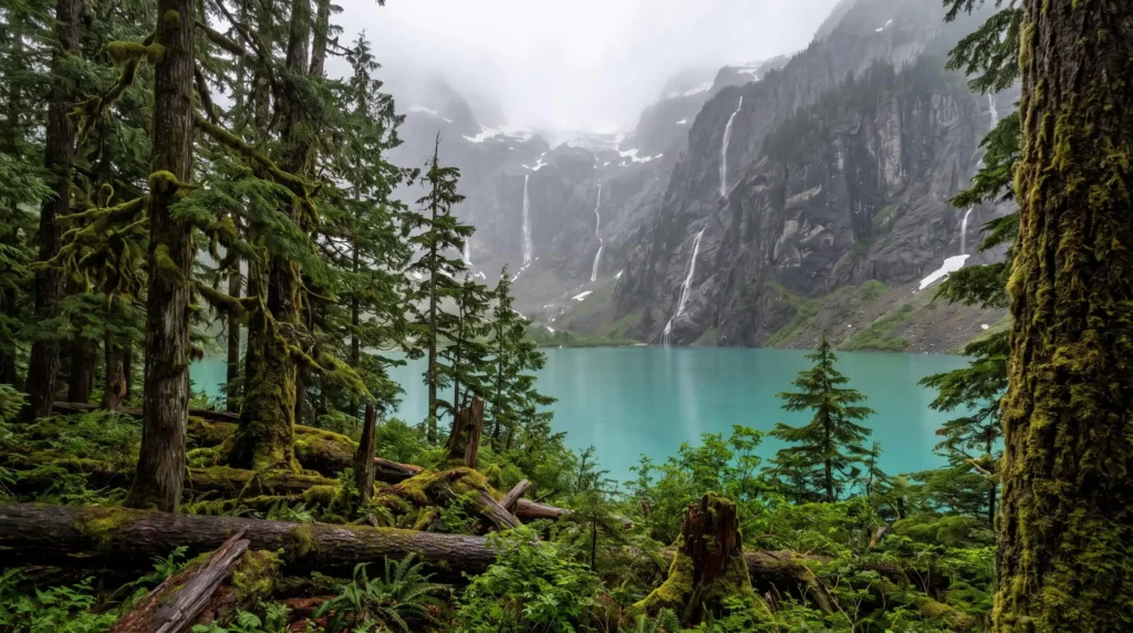
Avalanche Lake is the classic first hike on the west side. The trail runs about 2.3 miles one way with roughly 500 feet of climbing and ends at a basin ringed by waterfalls. It begins near the Avalanche picnic area after a stretch along Trail of the Cedars.
Arrive early because the lot fills and shuttle service to this trailhead has changed from year to year. For a tougher day Apgar Lookout climbs about 1,850 feet in 3.6 miles. Huckleberry Lookout is longer at 6 miles one way with over 2,700 feet of gain.
Hiking in the East instead? Our guide to Great Smoky Mountains National Park covers waterfall walks on the other side of the country.
Highline Trail Is the Big Ridge Day
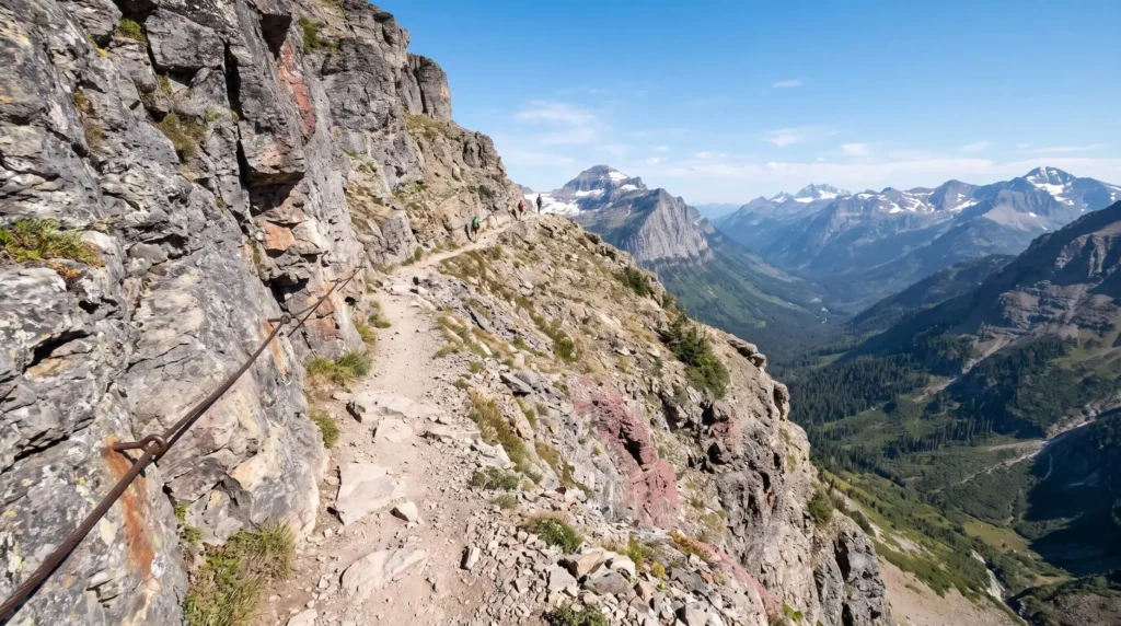
The Highline Trail starts at Logan Pass and follows the Continental Divide along a ledge cut into the cliff. The route to Granite Park Chalet is about 7.6 miles one way with roughly 800 feet of gain. Continuing to The Loop makes a one way day of about 11.8 miles.
Logan Pass parking is the real challenge. The park says the lot often fills before dawn and recent seasons added a three hour limit plus a ticketed shuttle. Tickets have been sold through Recreation.gov so check the current system and the last bus time before you plan a one way hike.
Reports on the 2026 season say the park dropped vehicle reservations, but a $1 per person shuttle ticket for Logan Pass ran from July 1 through September 7. Rules were described as a trial, so recheck the park site for next summer.
Hidden Lake Overlook is the gentler Logan Pass option at about 2.7 miles round trip. Snow can cover both trails into July so check conditions first.
Know the closures on Hidden Lake before you go. The walk to the overlook is short, but the trail past it down to the lake is often closed for bear activity. Cracker Lake in Many Glacier is closed at times for the same reason, so check the trail status page before you drive east.
Many Glacier for Lakes and Ice
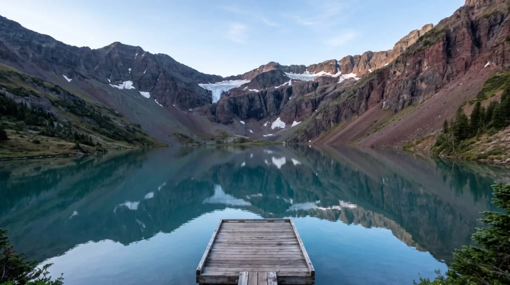
Many Glacier packs the best alpine lake hikes into one valley. Iceberg Lake runs about 4.8 miles one way with roughly 1,200 feet of climbing. Grinnell Glacier is 5.3 miles one way with about 1,600 feet of gain or 3.6 miles if you cross the lakes by concession boat.
Boat rides need reservations in busy weeks. Storms can close the valley and flooding in 2026 shut its trails for a period. Check status before you drive to the east side.
The ice you hike toward is shrinking. The USGS runs a repeat photography project with side by side shots and Grinnell Glacier has the most pairs.
Two Medicine and North Fork Away From the Crowds
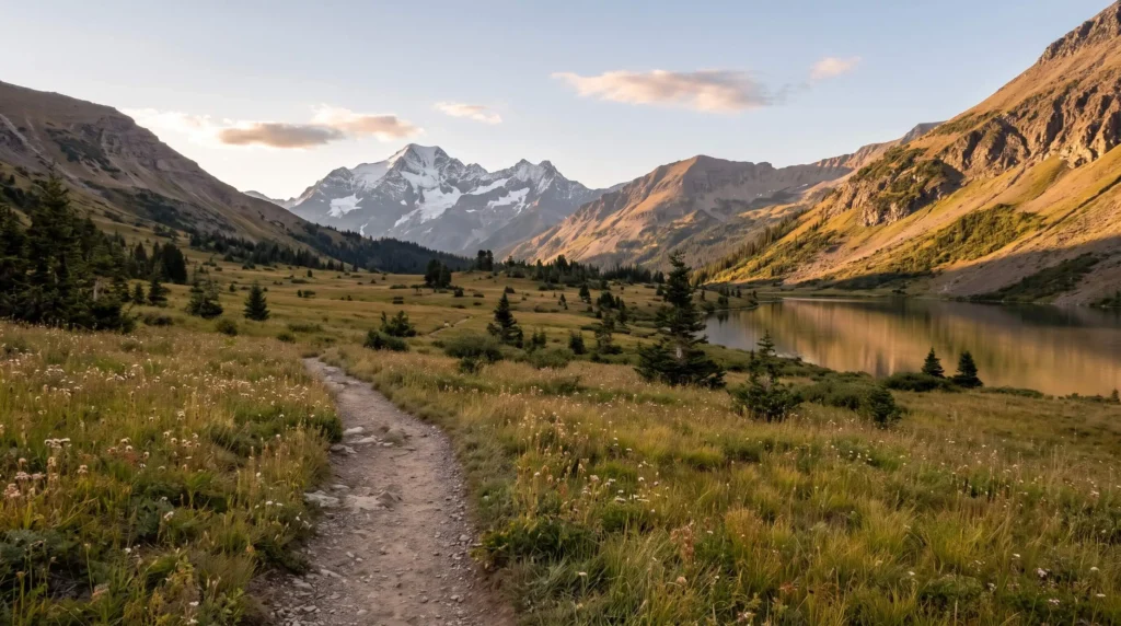
Two Medicine sits in the southeast corner and offers big views with fewer boots on the trail. Cobalt Lake is 5.8 miles one way with about 1,400 feet of climbing. Scenic Point is a steep 3.9 miles one way that gains around 2,350 feet.
North Fork is remote and rewards patience. Logging Lake is about 4.5 miles one way with little climbing. Roads there are partly unpaved so confirm access before you go.
Bowman Lake in the northwest corner needs a long dirt road drive from Polebridge, which is why it stays quiet. The lakeside trail is flat and runs about 8 miles round trip to Bowman Creek. Sperry Chalet is a strenuous 12 mile hike with about 3,400 feet of gain, best done as an overnight because chalet beds book out months ahead.
Snow Bears and Timing Rules
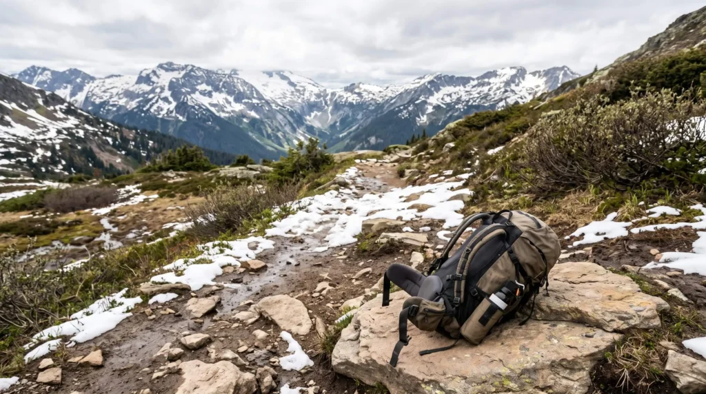
Trails are snow covered in winter and high routes can hold snow well into summer. Weather can flip in a day so pack layers and rain gear. Early morning and dusk bring the most animal activity.
Carry bear spray where you can reach it and hike in a group. Make noise at blind corners and avoid night hiking. Tell someone your route and your return time.
Bear Spray Rule
Keep bear spray on your belt or chest strap and not buried in the pack. Practice removing the safety before you reach a blind corner.
Frequently Asked Questions
Choose a Region Then Choose a Season
Pick one region per day and start early. Check trail and road status the night before you go.
Keep planning with North America or Things to Do for national parks and trail ideas.


