
Great Smoky Mountains National Park Things to Do and a Plan That Beats the Traffic
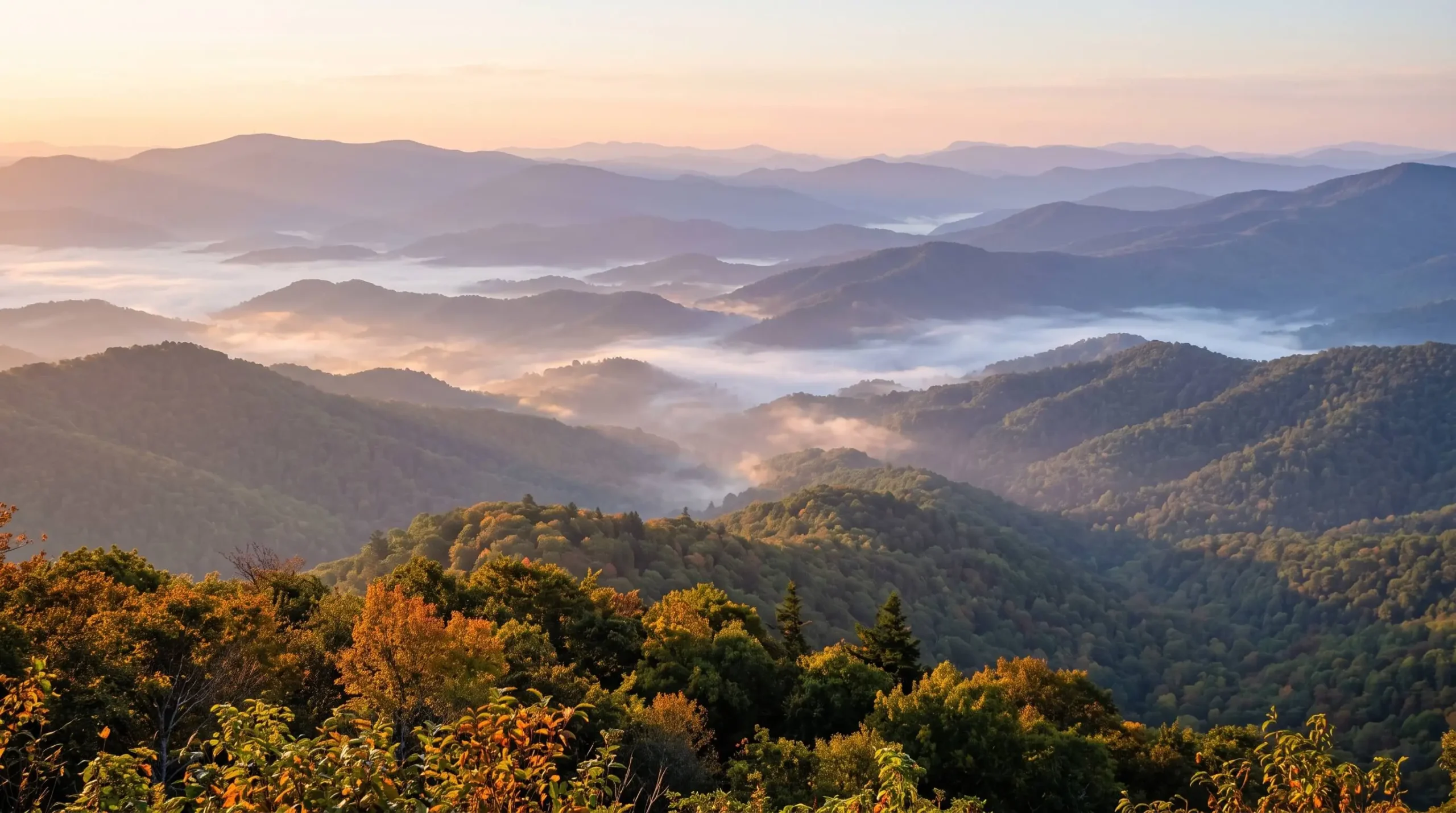
Is Gatlinburg traffic as bad as people say? That worry came up before anything else when I read through Smokies trip plans.
The park is free to enter but huge, and only a few roads cross it. Popular stops cluster around Gatlinburg, Cades Cove and the Cherokee side in North Carolina.
This list of great smoky mountains national park things to do is grouped by area so you cover one corner a day. Parking tags, bear distance rules and the Cades Cove loop timing are in the sections below.
Great Smoky Mountains National Park Things to Do Grouped by Entrance
| Base | Headline stop | Best for |
|---|---|---|
| Gatlinburg, Tennessee | Newfound Gap and the Roaring Fork Motor Nature Trail | First visits and short stays |
| Townsend and Cades Cove | The 11 mile Cades Cove loop | Wildlife and historic cabins |
| Cherokee, North Carolina | Oconaluftee and the Mountain Farm Museum | Elk and a quieter day |
Choose the row that matches where you are sleeping. Each one gives you a full day without crossing the whole park.
Plan for Hours and Not Minutes at the Cades Cove Loop
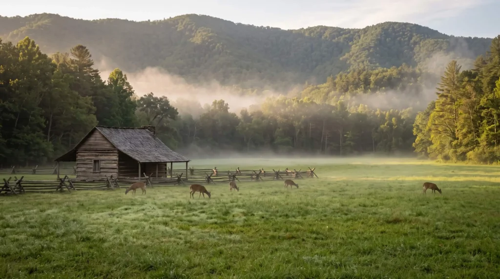
Cades Cove is the most visited corner of the park and one of the most reliable places to see wildlife. The one way loop is about 11 miles and passes historic cabins, churches and the Cable Grist Mill. Traffic can crawl whenever someone spots a deer or a bear.
The loop road is open from sunrise to sunset and closes to vehicles on Wednesdays, typically from May through September. On those mornings it belongs to bikes and walkers. Early starts beat the lines on every other day.
Wildlife Distance Rules
Stay at least 50 yards (150 feet) from bears and 25 yards (75 feet) from elk. Never feed or approach any animal, even squirrels.
Kuwohi Is the Highest Point in the Smokies
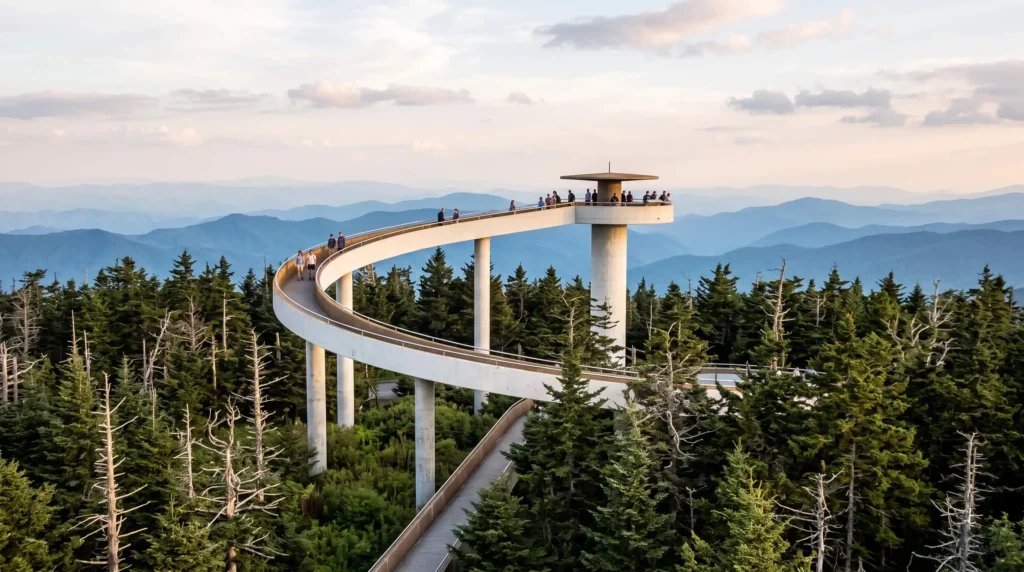
Kuwohi was known for years as Clingmans Dome and holds the highest point in the park. A paved but steep walk of about half a mile leads from the parking lot to the observation tower. From the top you get 360 degree views of the ridges.
The road to the summit follows a seasonal schedule. In 2026 it runs from April 1 to November 29 and weather can close it at any time. Check park alerts the morning you go.
Newfound Gap and the Rockefeller Memorial
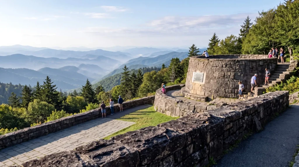
Newfound Gap Road, US 441, crosses the park from Tennessee to North Carolina and stays open year round when weather allows. The pass at the top is a classic stop for layered blue ridges and morning haze. The Rockefeller Memorial sits right beside the parking area. Arizona canyons are covered in our guide to Arizona.
Pair the pass with a short walk or a picnic. It also makes a neat link between the two states if you are staying on the North Carolina side. Western parks are covered in a national park road trip through Utah.
Roaring Fork and the Falls Near Gatlinburg
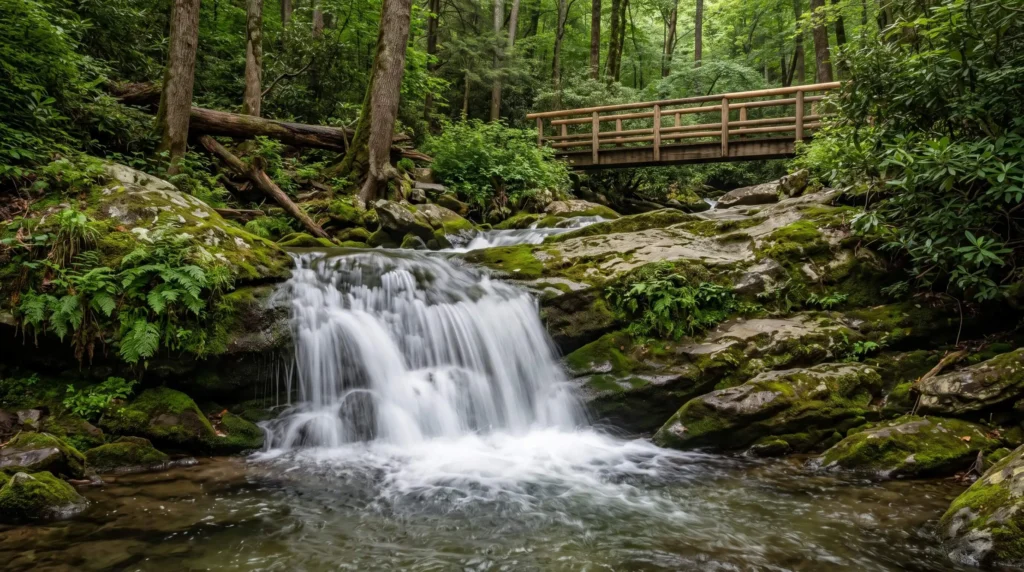
The Roaring Fork Motor Nature Trail is a 5.5 mile one way loop that starts in Gatlinburg. It winds past hardwood forest, historic cabins and a grist mill, with Rainbow Falls and the Place of a Thousand Drips close by. It is slow and narrow, so keep it for a relaxed afternoon.
Waterfall walks give beginners a big payoff for a small effort. Wear shoes with grip because wet rock and roots slow everyone down.
Families get easy wins on Grotto Falls and Arch Rock. Grotto Falls is a 2.6 mile round trip to a 25 foot waterfall you can walk behind, but trailhead parking is very limited so expect extra walking. Arch Rock is a short 1.4 mile round trip on the Alum Cave Trail where stone steps climb through the rock.
Elk and Farm Buildings on the North Carolina Side
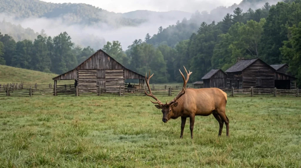
Oconaluftee on the North Carolina side is a calmer base for a day. The Mountain Farm Museum and the nearby mill show how mountain families lived. Elk often graze in the open fields, so bring a long lens and keep your distance.
The park issued an October 2026 reminder that approaching elk is both dangerous and illegal, which matters in the fields near Oconaluftee during the fall rut. Treat any crowd of parked cars as your cue to stay in the car and watch from the road.
Cherokee is the nearest town for food and fuel. The drive over Newfound Gap from Gatlinburg takes you there through the best viewpoints.
Parking Tags, Traffic and Gatlinburg
The park has no entrance fee but asks you to display a parking tag. Most trailheads have no tag machines, so buy yours before you arrive. Cell service is patchy inside the park, so download maps first.
The park says a tag is required if you park longer than 15 minutes, and tags are sold daily, weekly or annually online and at visitor centers.
Gatlinburg itself can jam up fast. The city posts its municipal parking information online, including garages and free Park and Ride lots at the Spur Welcome Center and on Highway 321 at City Hall. Leaving the car and riding in is the easiest way to skip downtown traffic.
How Many Days and When to Go
Two or three days give you room for one area per day plus a short hike. One day only fits one or two drives. Spring wildflowers and fall color move down the slopes from the high elevations, so timing shifts with altitude.
Summer and October weekends are the busiest. Weekdays and early mornings give you the quietest roads.
The park’s cautions page lists trail work for 2026, including a Bullhead Trail closure Monday through Thursday until November 19 and a partly closed Laurel Falls Trail. Check it the morning you go. Backcountry permits moved to Recreation.gov on April 30, 2026.
A recent analysis ranked the Smokies as the second deadliest national park, behind Yosemite, and local news followed a hiker who died after going missing near Abrams Falls. Carry water and a charged phone with an offline map, tell someone your route, and turn back if a stream is running high.
Frequently Asked Questions
Pick One Area Per Day and Start Early
The Smokies reward visitors who plan around roads and not around a checklist. Book a base near your first stop, buy the parking tag ahead and leave before the crowds wake up.
Plenty more routes and ideas wait in North America and Things to Do.


